
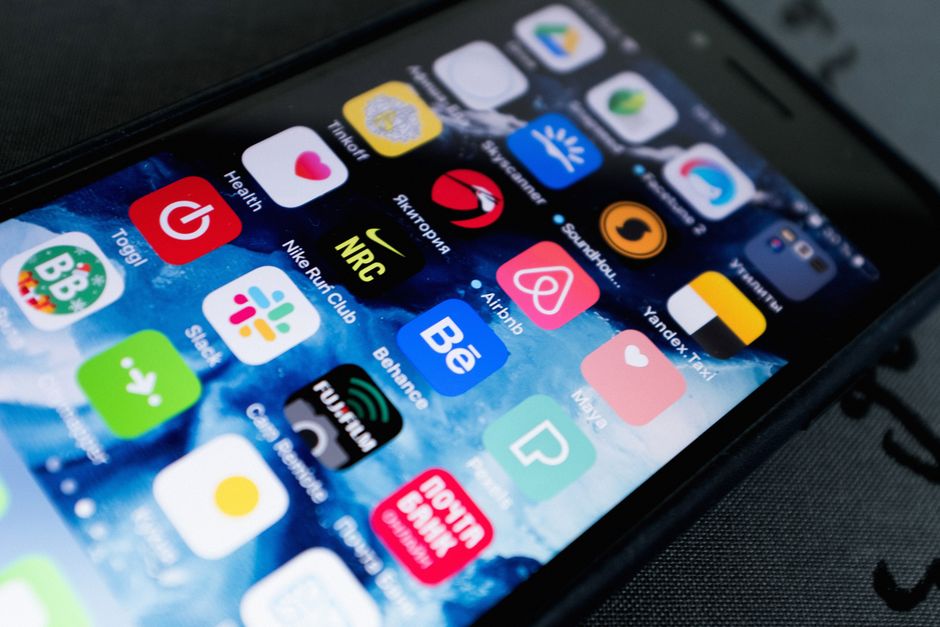
You leave a train station in Lisbon after dark and realize the street signs no longer match the route saved in your notebook. Your phone has 18% battery, your hotel is a 12-minute walk away, and nobody knows which neighborhood you entered. That is the moment a safety app earns its place. The useful question is not which app looks impressive. It is whether the app can help you locate yourself, contact a real person, or reach local help before the phone dies.
This is not legal advice — consult a licensed attorney. No particular state law is interpreted here. U.S. rules about recording, location sharing, privacy, and emergency communications vary by state, including differences between California, New York, Massachusetts, and other jurisdictions.
What a safety phone setup must do before trouble starts
Build three separate ways to get help
A reliable travel phone setup has three jobs: show where you are, connect you to someone you trust, and help you reach an official emergency service. These jobs should not depend on one company, one contact, or one internet connection. A map can fail in a tunnel. A messaging service can fail when a local SIM has not registered. An emergency shortcut can call the wrong number if it was designed for another country.
Use one tool for navigation, one for communication, and one for emergency instructions. Add a fourth layer for location details, such as a saved hotel address, a pinned meeting place, or a precise map coordinate. Redundancy matters more than having a large number of apps. Eight icons on a home screen do not create safety if none has been tested.
Prepare while the phone still has signal
Before departure, charge the phone to at least 80%, install pending updates, and download the language and map data needed for the first 24 hours. Save your accommodation address in both the local language and English. Take a screenshot of the reservation, transport route, and emergency contact list. Screenshots do not need mobile data.
Tell one person at home when you expect to arrive and what to do if you stop responding. A useful plan includes a time, a channel, and an escalation step. For example: send a message when you leave the airport; call after 30 minutes without contact; contact the hotel after two hours. That plan gives a friend something concrete to follow instead of asking them to guess.
Know the limit of every digital tool
Safety apps cannot replace local judgment, a staffed hotel desk, a police station, or emergency medical care. Location sharing may show an old position when the phone loses signal. GPS can place you on the wrong side of a large building. An SOS button may reach a private contact rather than an official dispatcher. Treat every feature as a bridge to help, not as proof that help has already arrived.
Which eight safety apps cover the essential jobs?
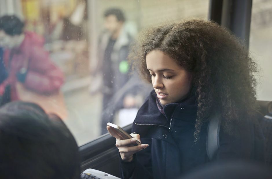
My strongest travel stack combines free everyday tools with a small number of dedicated emergency apps. The choices below are ranked by the job they perform, not by how dramatic the app-store description sounds. Download prices and paid features can vary by country, operating system, and account plan, so check the local listing before departure.
| App | Main job | Useful detail | Best verdict |
|---|---|---|---|
| Google Maps | Navigation and location sharing | Free download; offline city maps can be saved before a trip | Best everyday navigation choice |
| Google Translate | Language support | Free download; offline language packs and camera translation support common travel tasks | Best for explaining an address or medical need |
| Contact with trusted people | Free messaging and voice calls where internet access is available | Best for a family check-in channel | |
| what3words | Precise location description | Maps the world into three-metre squares identified by three words | Best when street addresses are unclear |
| Apple Find My | Location sharing and device recovery | Free and built into Apple devices; works best with a prepared contact group | Best for iPhone users traveling with Apple contacts |
| bSafe | Personal SOS and route monitoring | Free core download with additional features that may require payment | Best for scheduled check-ins and a trusted circle |
| TripWhistle Global SOS | Emergency-number reference | Provides country-specific emergency information; verify local coverage before relying on it | Best as a reference layer |
| Red Panic Button | Fast alert to chosen contacts | One-tap alert features; availability and functions vary by platform | Best only after a real test message |
For most travelers, the core four are Google Maps, Google Translate, WhatsApp, and what3words. They are free to download, broadly recognized, and useful even when nothing goes wrong. Apple Find My adds the clearest location-sharing option for iPhone users. Android travelers should test their phone’s built-in location-sharing service and avoid assuming that an iPhone feature will work on their device.
The setup mistakes that make safety apps fail
The biggest risk is false confidence. An app that has never been opened abroad is not a safety plan. It is an untested promise. Use this short pre-trip check:
- Open each app on the phone you will carry. Confirm that the account is signed in and that the correct email address or telephone number is attached.
- Download the map area, language pack, or emergency reference data before leaving reliable Wi-Fi. Then switch the phone to airplane mode and test the basic feature.
- Send a test location to a trusted contact. Ask the person to describe what they can actually see, including the time of the last update.
- Check battery permissions. Some phones pause background location services to save power, which can stop a check-in timer or route monitor.
- Write down the local emergency number. The number used in one country may not work in the next, and a private SOS app may not contact an official dispatcher.
- Remove permissions that the app does not need. A translation tool may need microphone access during use, but it does not need continuous location access.
Do not keep every service running all day. Continuous GPS, camera use, roaming, and high screen brightness can drain a battery before the evening. Carry a power bank, but keep the emergency contact list on paper too. If your phone is stolen, locked, wet, or dead, the paper copy may be the only working backup.
Solo traveler safety app questions answered
Should an emergency app replace the local emergency number?
No. Call the local emergency service directly when there is an immediate threat, serious injury, fire, or medical crisis. Apps such as TripWhistle Global SOS can help you find information, but their coverage and connection method may differ by country. The strongest setup stores the official number offline and keeps the app as a secondary reference.
Is live location sharing always safe?
No. Share your location with one or two trusted people for a defined period. Turn it off after reaching a safe destination. Public posts, open group chats, and permanent location links can reveal where you sleep, when you leave, and whether your room is empty. Apple Find My and WhatsApp can support private sharing, but the person receiving the link still controls what happens next.
Do I need both a map app and a location-code app?
Yes, if you travel through places with poor addressing. Google Maps is better for routes, transit, and businesses. what3words is better for describing a specific meeting point, entrance, trail access, or rural pickup location. Neither service guarantees a signal, so save the written address and a screenshot before moving into an unfamiliar area.
Which app should I choose for a scheduled check-in?
bSafe is the clearest choice when you want a dedicated check-in or SOS workflow and a trusted person is willing to respond. For a simple plan, WhatsApp is enough: agree on a message time and a backup call. A paid feature is not automatically better. The best option is the one your contact knows how to monitor and you have tested on the exact phone you will carry.
My recommended phone stack for the Lisbon train scenario
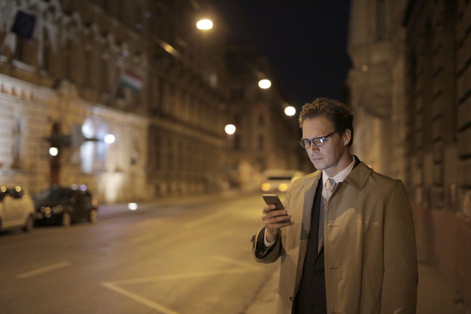
For most solo travelers, Google Maps, WhatsApp, Google Translate, and what3words form the best base stack. They cover the four questions that matter first: Where am I? How do I explain the problem? Who can I contact? How can I describe this exact spot?
Choose the dedicated layer by your real risk
Add Apple Find My when your trusted contacts use Apple devices and you want straightforward location sharing. Add bSafe when a family member will actively monitor a route or check-in. Add TripWhistle Global SOS when you are crossing several countries and want an emergency-number reference. Add Red Panic Button only after checking that its alert method works in your country and with your contacts.
Do not install all four dedicated tools just to create a longer list. Each extra service adds another account, permission request, battery setting, and possible point of confusion. A solo hiker with weak coverage needs an offline map, paper route, and local rescue details more than a polished alert screen. A city traveler moving between hotels benefits more from location sharing, translation, and a charged phone.
Return to the simple plan
Back at the Lisbon station, the traveler can open the offline map, copy the hotel address into Google Translate, send a WhatsApp location to a trusted contact, and use what3words if the pickup point has no clear street number. The apps do not remove every risk. They turn a vague problem into a location, a message, and a next step—the practical outcome a solo traveler needs.
